

Fire Lookout Towers Map of the US
Map fire lookout towers recorded in OpenStreetMap, standing and former. Find historic lookouts with big views across the US.
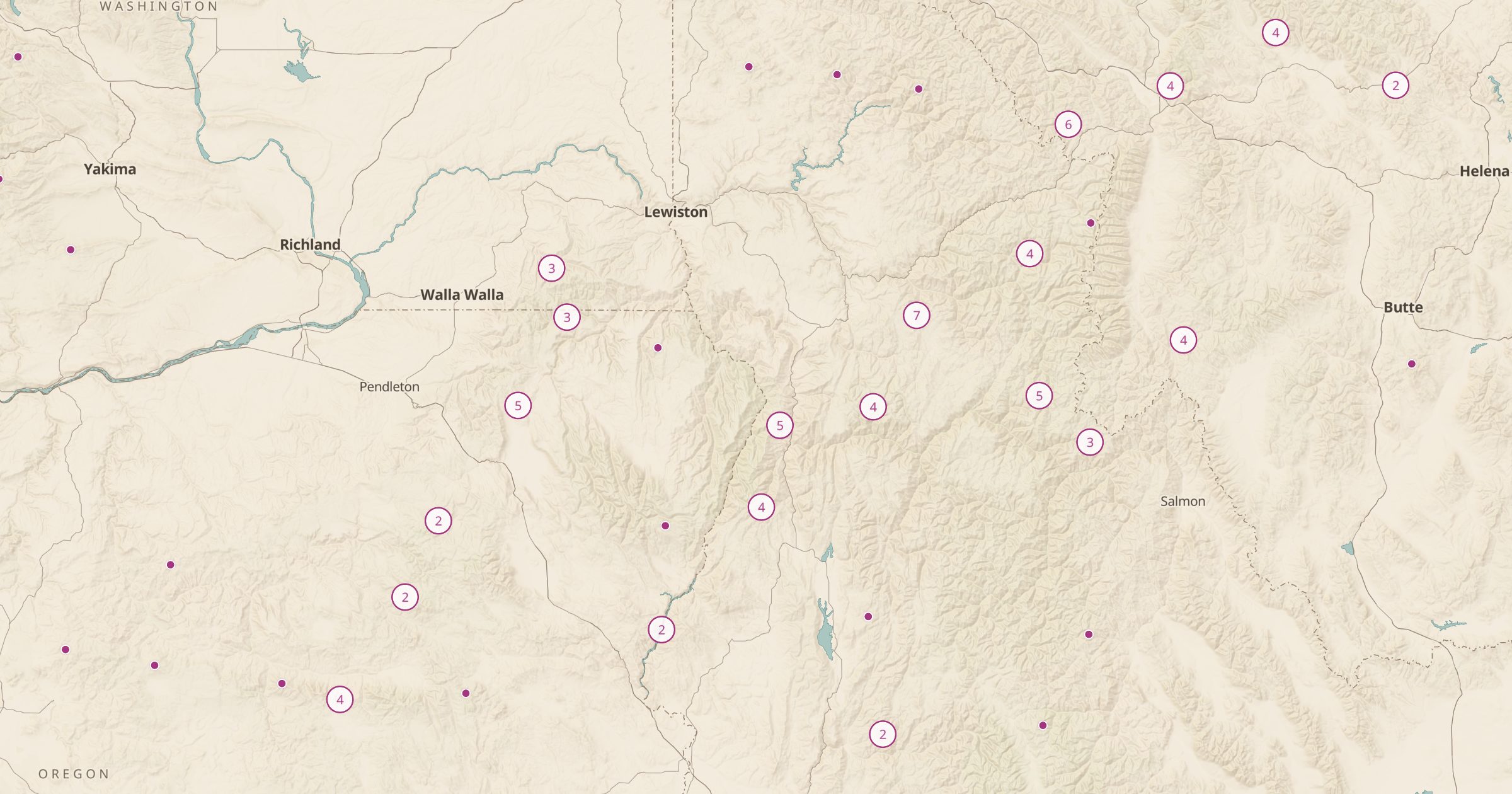 Explore this map →
- 1,854lookout towers
- OpenStreetMapsource
- ODbL 1.0license
- 98layers to stack it with
About this layer
Fire lookouts were built on summits so crews could spot smoke across whole forests, and many still stand. This layer maps fire lookout towers recorded in OpenStreetMap, with data © OpenStreetMap contributors under the ODbL, including standing towers and the sites of former ones. A filter separates the two.
Many lookouts sit at the end of a good hike and give some of the widest views around, while others are closed or on private land. This layer is separate from the rentable Forest Service lookouts, so check the managing agency before you plan to visit or stay. Pair it with Forest Service Trails, Peaks and Passes and Wilderness Areas to plan a lookout hike.