

Climbing Areas & Crags Map (OpenBeta)
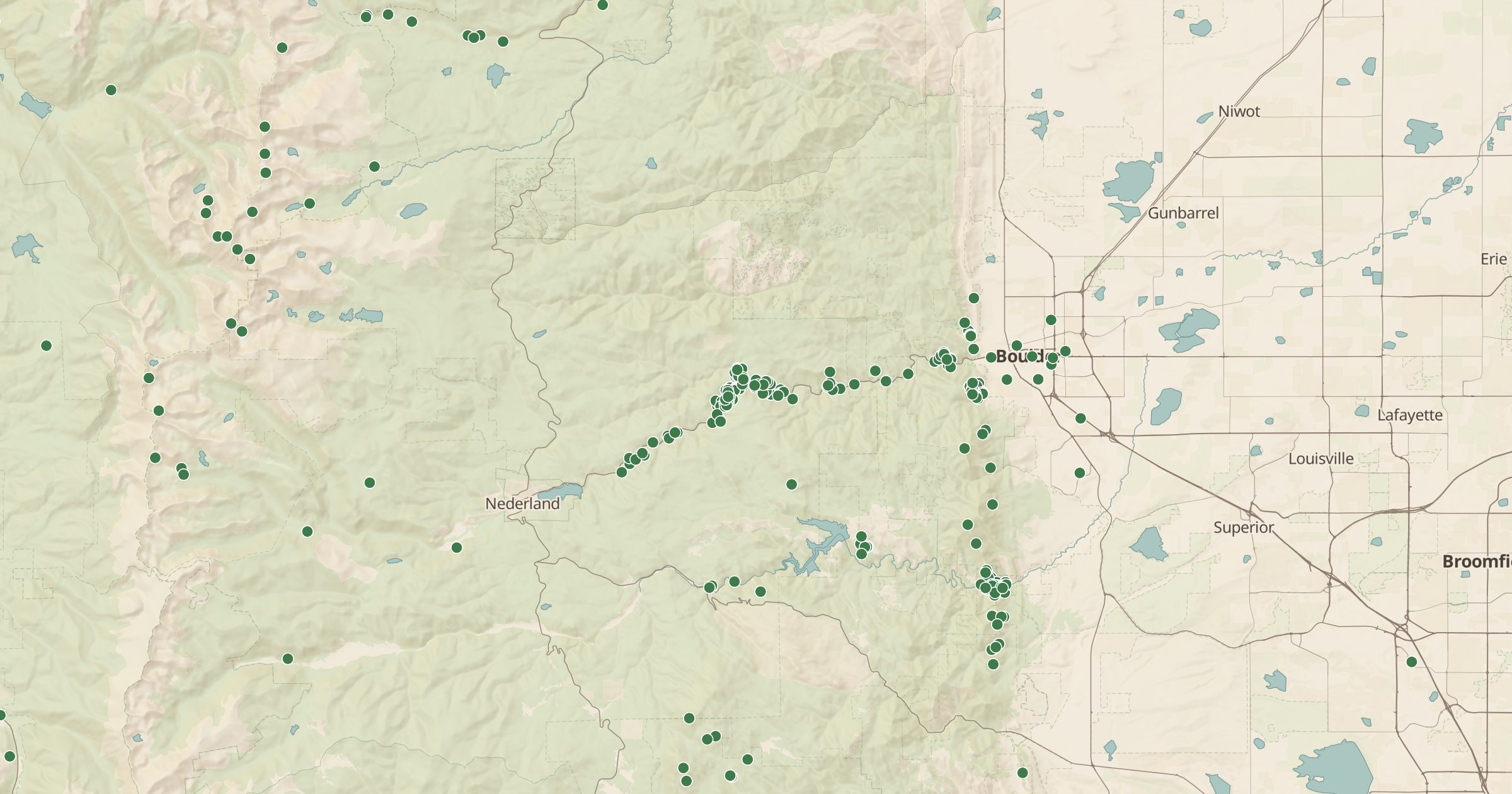
Map 16,870 climbing crags and areas from OpenBeta, 14,456 of them across 48 US states, from Boulder and the Gunks to Red River Gorge.
 Explore this map →
- 16,870climbing areas
- OpenBetasource
- CC0license
- 98layers to stack it with
About this layer
Individual routes are too detailed when you are looking at a whole state. This layer groups OpenBeta's climbing routes into 16,870 crags and climbing areas, each placed at the average location of its routes. 14,456 of them are in the US, across 48 states, and most of the rest are in Canada. OpenBeta is an open climbing database released under CC0.
Colorado has the most crags, followed by California, Utah and Wyoming, and the classic areas are well covered: Boulder Canyon, Flagstaff and Eldorado Canyon near Boulder, the Gunks in New York and Kentucky's Red River Gorge. Switch to Climbing Routes to see the routes themselves, and pair it with campgrounds, Dispersed Camping and Land Ownership to plan where to stay and confirm the crag is on public land. Check current access rules before you go.