

Rock Climbing Routes Map (OpenBeta)
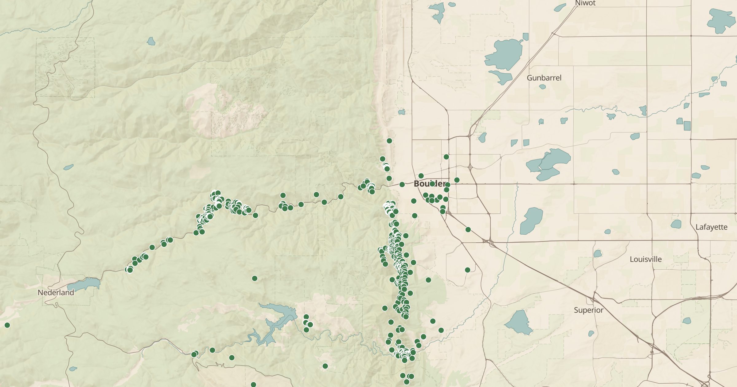
Map 231,813 sport, trad, boulder and alpine climbing routes from OpenBeta, the open climbing database, from Boulder and the Gunks to Red River Gorge.
 Explore this map →
- 231,813climbing routes
- OpenBetasource
- CC0license
- 98layers to stack it with
About this layer
OpenBeta is an open, community-built database of climbing routes, released under CC0. This layer maps 231,813 individual climbs from OpenBeta, including sport, trad, boulder, top rope and alpine routes, and 207,596 of them are in the US, across 48 states. The major areas are densely mapped: there are thousands of routes around Boulder, Colorado, and more than a thousand each at the Gunks in New York and Red River Gorge in Kentucky.
Zoom in to see routes spread across the cliffs, and tilt into 3D terrain for a sense of the walls. Use it to scout an area or compare route density between crags, then confirm details in a current guidebook. Climbing Areas gives the zoomed-out view by crag. Always check local access rules and closures, since some cliffs close seasonally for nesting raptors.