

Oil & Gas Wells Map (OpenStreetMap)
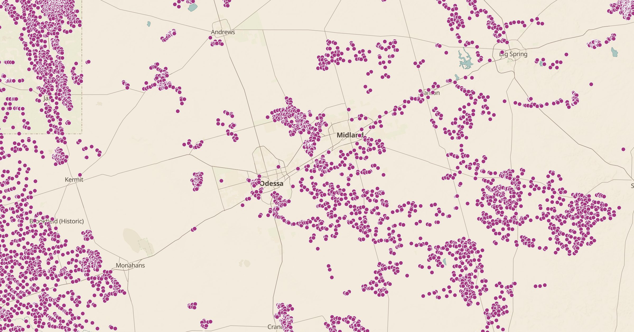
Map oil and gas wells recorded in OpenStreetMap. Coverage varies by state. See how drilling shapes landscapes from Texas to North Dakota.
 Explore this map →
- 167,648wells
- OpenStreetMapsource
- ODbL 1.0license
- 98layers to stack it with
About this layer
From above, some regions are covered in a dense pattern of well pads and access roads. This layer maps oil and gas wells recorded in OpenStreetMap, with data © OpenStreetMap contributors under the ODbL, and a filter separates the types where they are mapped.
Coverage varies a lot by state, because it depends on what mappers have imported or traced, so an empty area does not mean there are no wells. Points load from closer zoom levels, so zoom in on an oil field to see them. Use it to understand the landscape on a road trip or to explore energy history. Pair it with Land Ownership and Mines and Prospects for more industrial geography.