

US Nuclear Test Sites Map
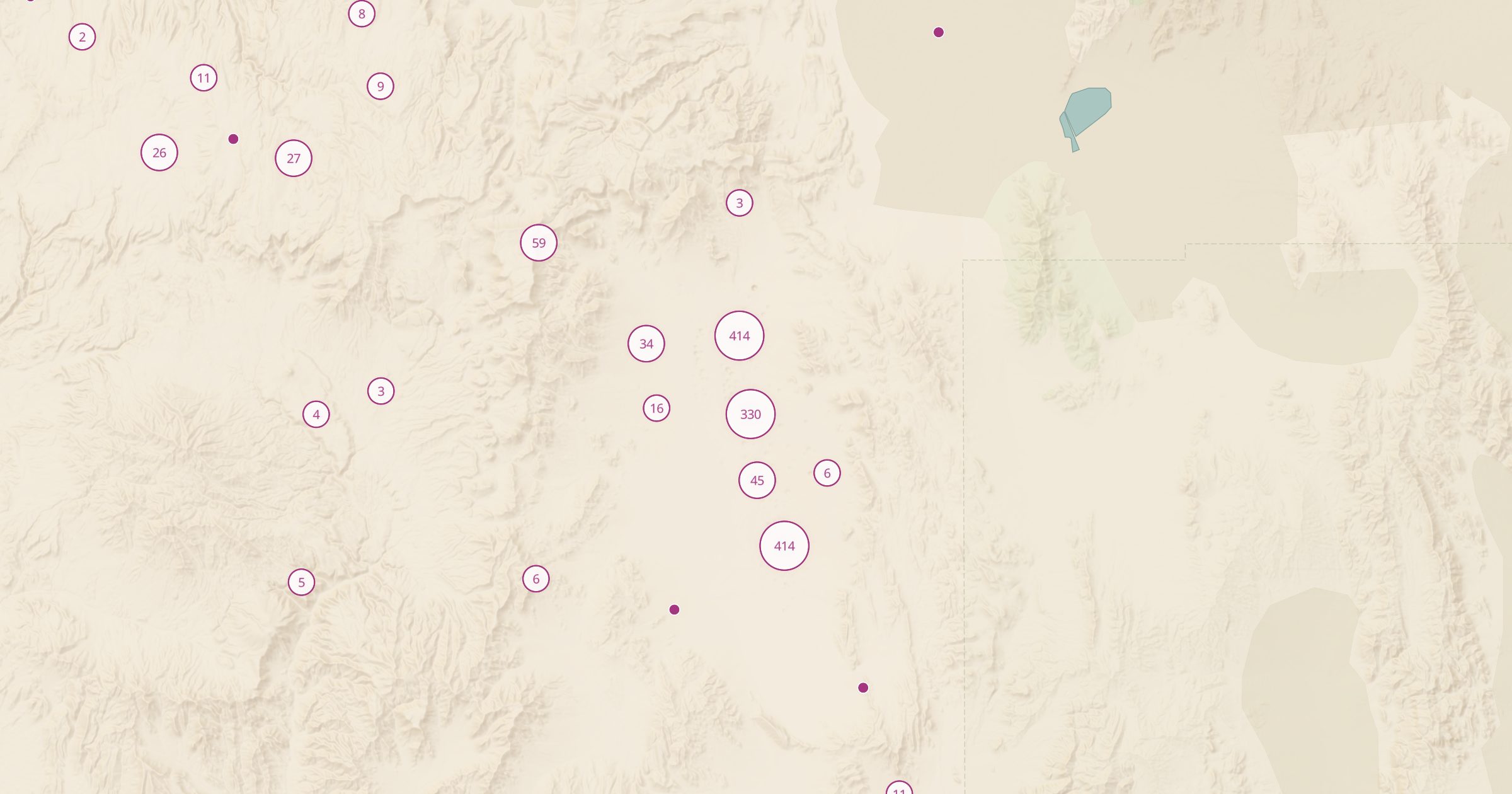
Map nuclear explosion sites recorded in OpenStreetMap, mostly at the Nevada Test Site, which is closed to the public. A map of Cold War history.
 Explore this map →
- 1,471test sites
- OpenStreetMapsource
- ODbL 1.0license
- 98layers to stack it with
About this layer
The United States carried out hundreds of nuclear tests, and their marks are still visible from above. This layer maps nuclear explosion sites recorded in OpenStreetMap, with data © OpenStreetMap contributors under the ODbL. Most points are at the Nevada Test Site, where craters from underground tests pock the desert floor.
The test site is closed to the public, so this is a map to explore from home, not a list of places to visit. Zoom in and switch to satellite imagery to see the craters. Pair it with Former Military Sites and Munitions Response Sites for more Cold War history, or with Meteorite Landings to compare craters made by people and by space rocks.