

Unexploded Ordnance Map: FUDS Munitions
Map FUDS Munitions Response Sites, areas at former military sites where unexploded ordnance may remain. Don't dig or disturb; check USACE first.
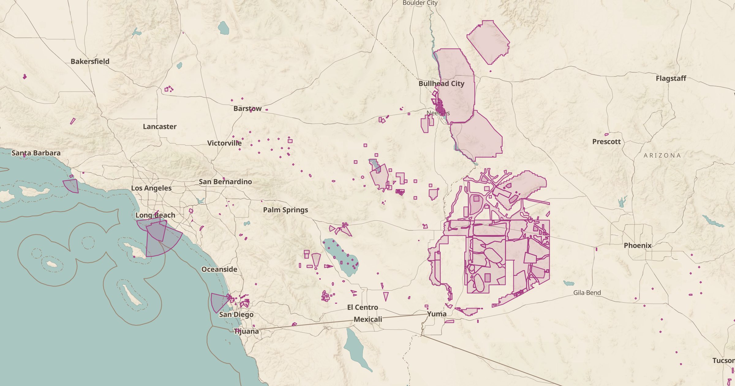 Explore this map →
- 1,682munitions response sites
- USACEsource
- Public domainlicense
- 98layers to stack it with
About this layer
Munitions Response Sites are areas at Formerly Used Defense Sites where unexploded ordnance or other munitions may still be present, often old firing ranges and bombing targets. This layer maps 1,682 of them from US Army Corps of Engineers FUDS data. The safety rule is simple: if you find something that could be ordnance, do not touch it, leave the area and call 911.
Do not dig, metal detect or collect objects in these areas, and check USACE guidance before visiting. The layer is useful for hikers, landowners and researchers who want to know what lies under old training grounds, and it is a sobering view of how widely the country trained for war.