

Covered Bridges Map of the US
Map 899 covered bridges in the US from Wikidata. Plan a fall foliage drive through Vermont, Indiana, Pennsylvania, Ohio and more.
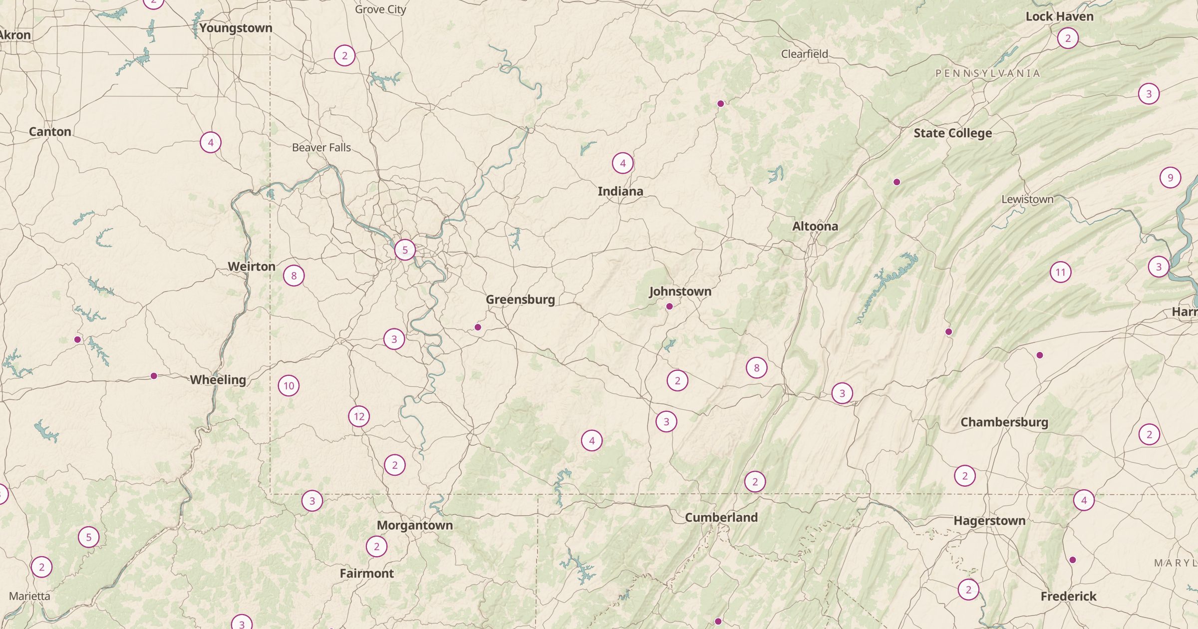 Explore this map →
- 899covered bridges
- Wikidatasource
- CC0license
- 98layers to stack it with
About this layer
Covered bridges were built with roofs to protect their wooden structure from weather, and many still stand in rural America. This layer maps 899 covered bridges in the US listed on Wikidata, released under CC0. Clusters appear in Pennsylvania, Ohio, Indiana, Vermont and New Hampshire, and Parke County, Indiana, alone has dozens.
Use the layer to plan a fall foliage drive, a cycling route between bridges, or a photography outing. Combine it with Scenic Byways and National Heritage Areas for a history-themed road trip, and use the route tool to link several bridges into one loop. Coverage depends on what Wikidata editors have entered, so some bridges may be missing.