

Windmills & Watermills Map of the US
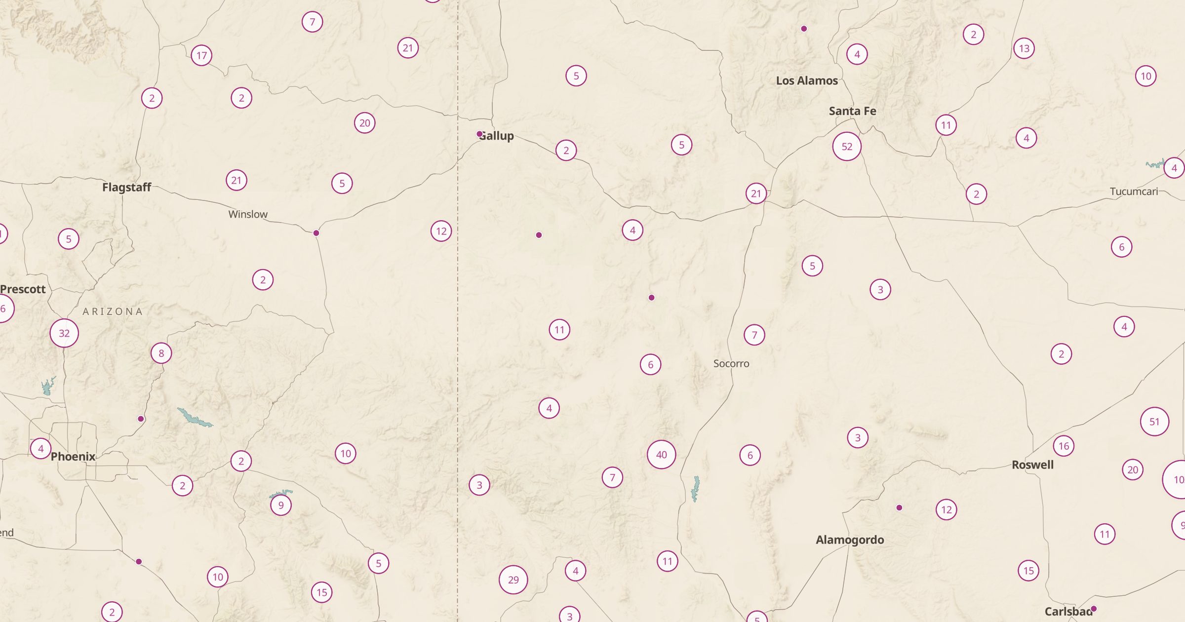
Map windmills, wind pumps and watermills recorded in OpenStreetMap across the US. Find historic mills and old farm windmills.
 Explore this map →
- 3,185mills
- OpenStreetMapsource
- ODbL 1.0license
- 98layers to stack it with
About this layer
Before electric pumps, wind and water did a lot of work on American farms and in early towns. This layer maps windmills, wind pumps and watermills recorded in OpenStreetMap, with data © OpenStreetMap contributors under the ODbL, and a filter separates the types. Watermills cluster along old mill streams in the East, while wind pumps dot ranch country in the Plains and the West.
Some mills are restored and open to visitors, many are private, and others are ruins. Check before visiting and respect private property. Combine it with Covered Bridges for a classic back roads drive, or with Ghost Towns and Ruins for more traces of earlier ways of life.