

Former Military Site Boundaries Map (FUDS)
See the property boundaries of Formerly Used Defense Sites across the US, from Army Corps of Engineers FUDS data. Know where old military land was.
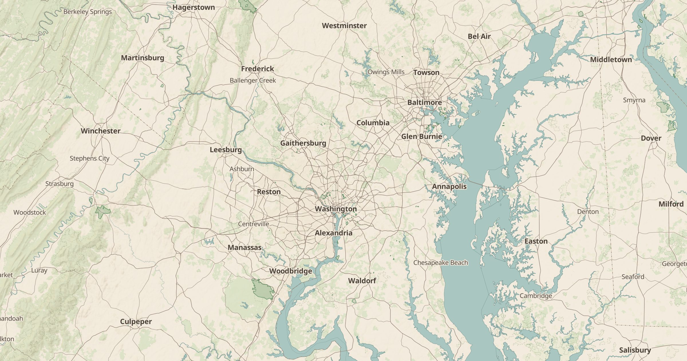 Explore this map →
- 2,999property boundaries
- USACEsource
- Public domainlicense
- 98layers to stack it with
About this layer
A single point on a map does not show how large an old military property was. This layer draws the property boundaries of Formerly Used Defense Sites, using the US Army Corps of Engineers FY2024 FUDS data. Some boundaries cover a few acres, while former ranges and camps can span many square miles and now contain farms, neighborhoods, parks or schools.
Seeing the outlines helps homeowners, buyers, researchers and local historians understand what an area was used for. Combine it with Former Military Sites for site names and with FUDS Munitions Response Sites for areas with possible ordnance. If you live or hike inside a boundary, check the USACE site for any guidance.