

Planes, Trains & Tanks on Display Map
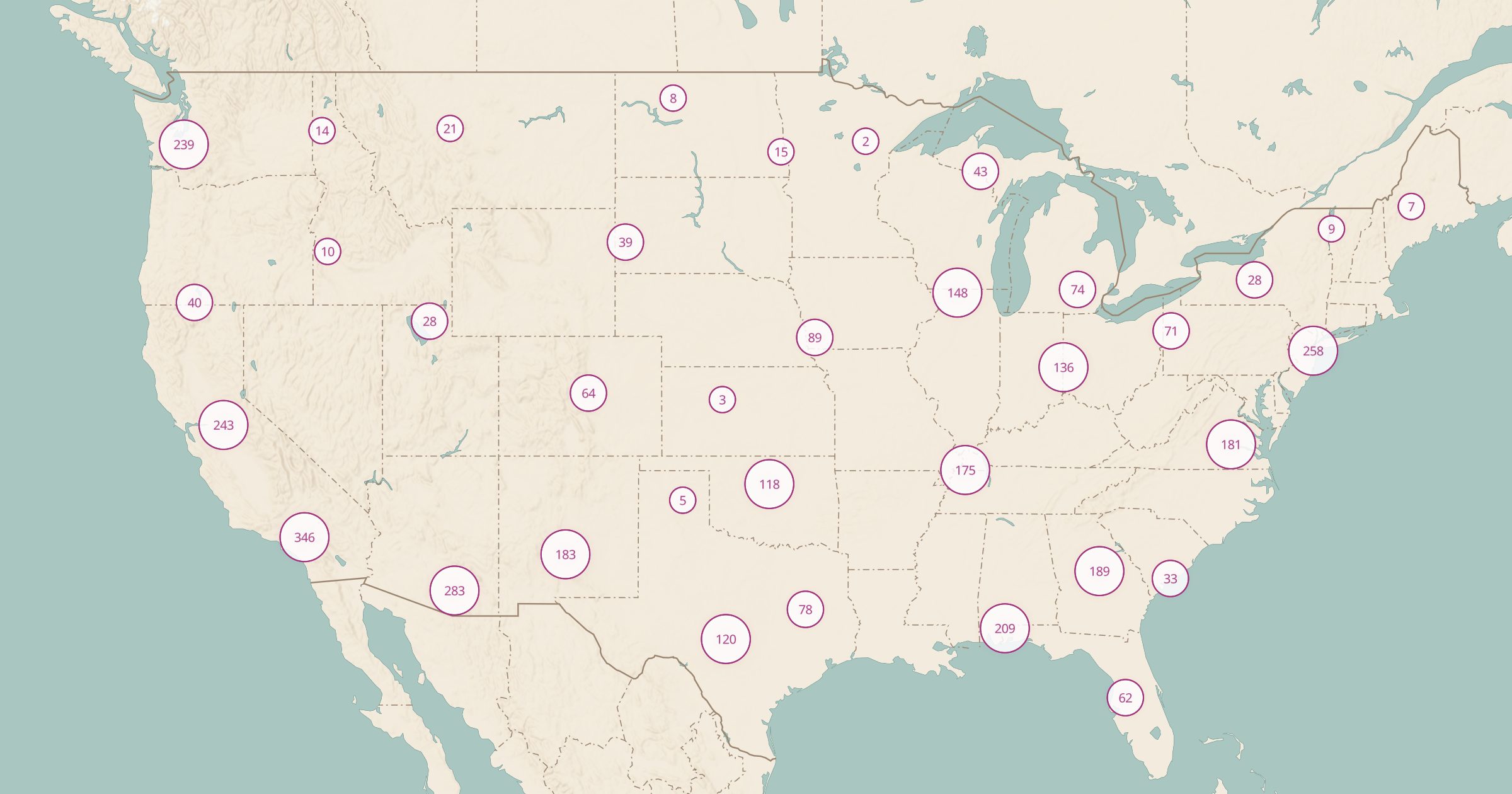
Map aircraft, locomotives, railcars, tanks and ships on public display across the US, from OpenStreetMap. Find roadside history and museum pieces.
 Explore this map →
- 3,647vehicles on display
- OpenStreetMapsource
- ODbL 1.0license
- 98layers to stack it with
About this layer
Retired aircraft on poles, steam locomotives in town parks and tanks outside veterans halls are a familiar part of the American roadside. This layer maps 3,647 aircraft, locomotives, railway cars, tanks and ships on public display in the US, recorded in OpenStreetMap, with data © OpenStreetMap contributors under the ODbL.
Use it to find a fun stop for kids on a road trip, plan a visit for an aviation or rail fan, or see what history sits in your own town. Combine it with Former Military Sites for more military history, or with Abandoned Rail Lines and Amtrak Stations for a railroad-themed map. Some items sit inside museums with admission fees.