

Florida Sinkhole Map: FGS Reports
Map Florida Geological Survey subsidence incident reports. Most are unverified; about 100 are confirmed sinkholes. See reports near you.
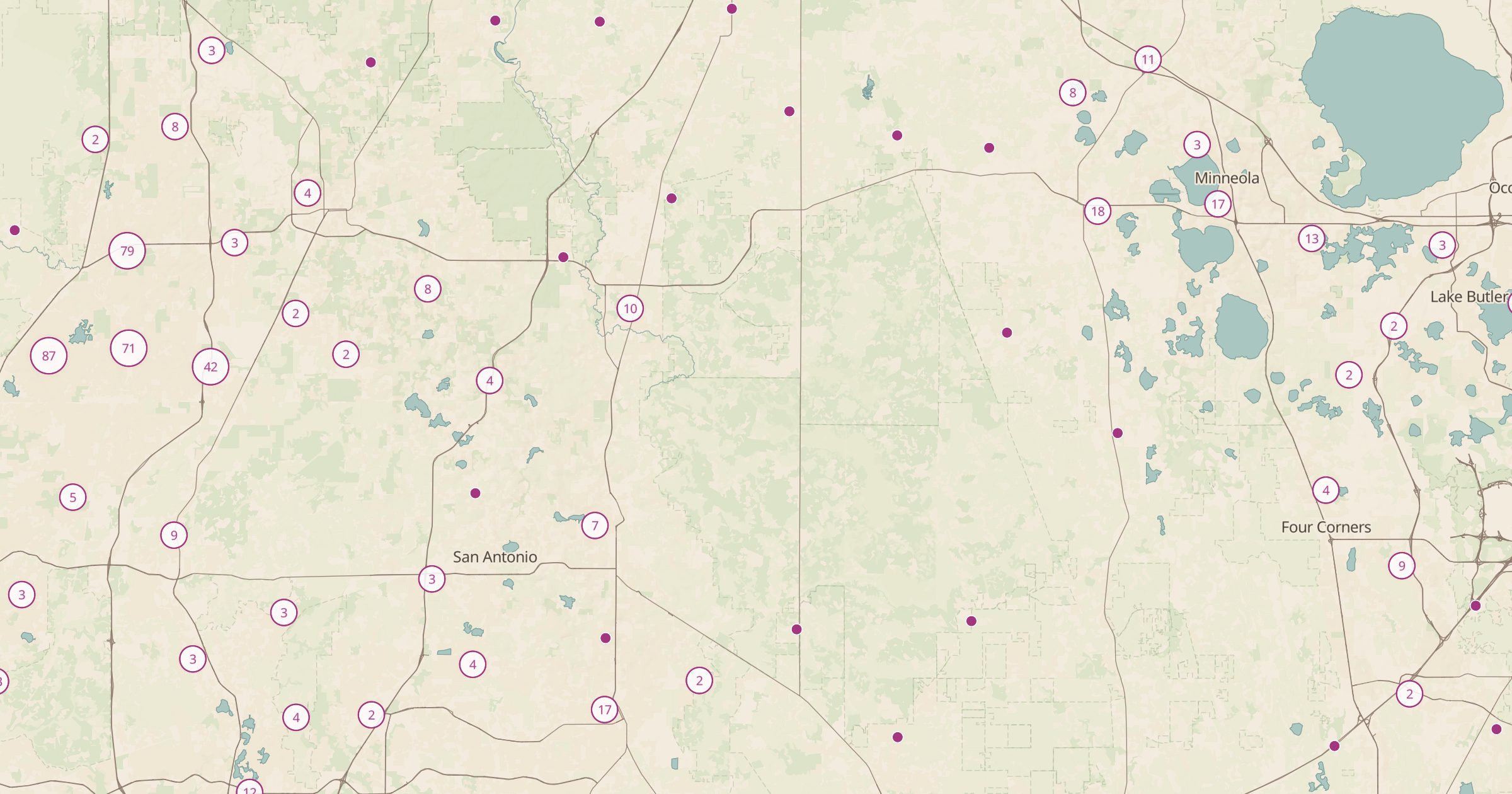 Explore this map →
- 4,457sinkhole reports
- FGSsource
- Florida open datalicense
- 98layers to stack it with
About this layer
Florida sits on limestone that slowly dissolves, which is why sinkholes are a real concern for homeowners there. This layer maps 4,457 subsidence incident reports from the Florida Geological Survey. Most reports are unverified, meaning someone reported ground settling or a depression that was never confirmed as a sinkhole; about 100 are confirmed sinkholes.
That context matters, so read the map as a record of reports, not a risk rating. It is useful for curious residents, buyers researching an area and students learning about karst geology. Clusters in west-central Florida stand out. Pair it with Cave Entrances and Drinking Water and Springs to explore other features of karst country.