

Amtrak Stations Map
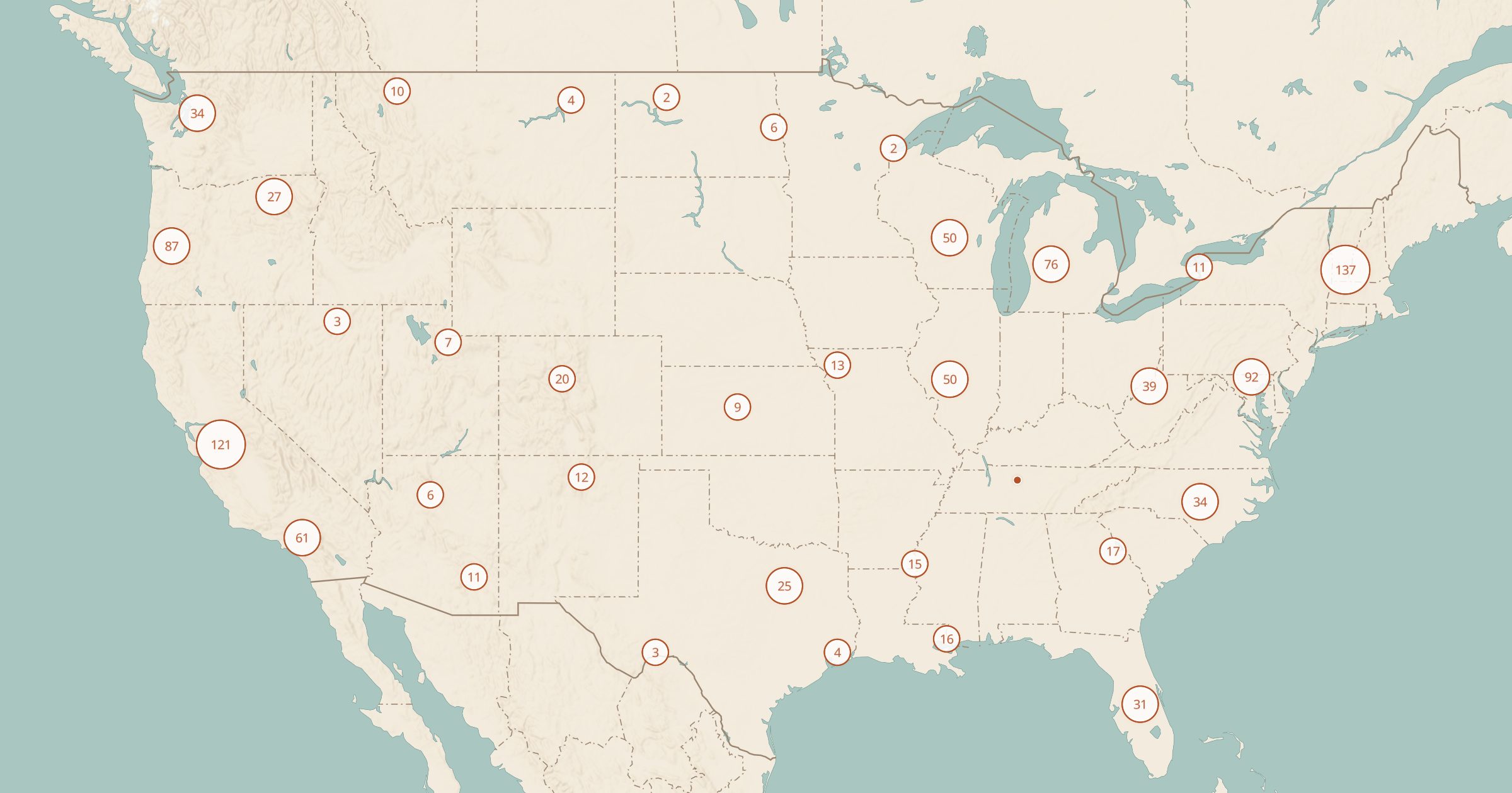
Map 1,036 Amtrak stations and bus stops from the BTS National Transportation Atlas Database. Plan a train trip to parks and towns.
 Explore this map →
- 1,036stations
- BTS NTADsource
- Public domainlicense
- 98layers to stack it with
About this layer
Train travel is a relaxed way to see the country, and several Amtrak routes pass close to national parks and scenic areas. This layer maps 1,036 Amtrak stations and bus stops from the Bureau of Transportation Statistics National Transportation Atlas Database.
Use it to plan a car-free trip, see which parks or towns you can reach by train, or combine a long-distance train with a rental car for the last miles. Pair it with National Park Service Sites and Scenic Byways to see what is near each stop, and with Abandoned Rail Lines to compare today's passenger network with the railroads that have disappeared. Check Amtrak for schedules and service changes.