

Airports & Backcountry Airstrips Map
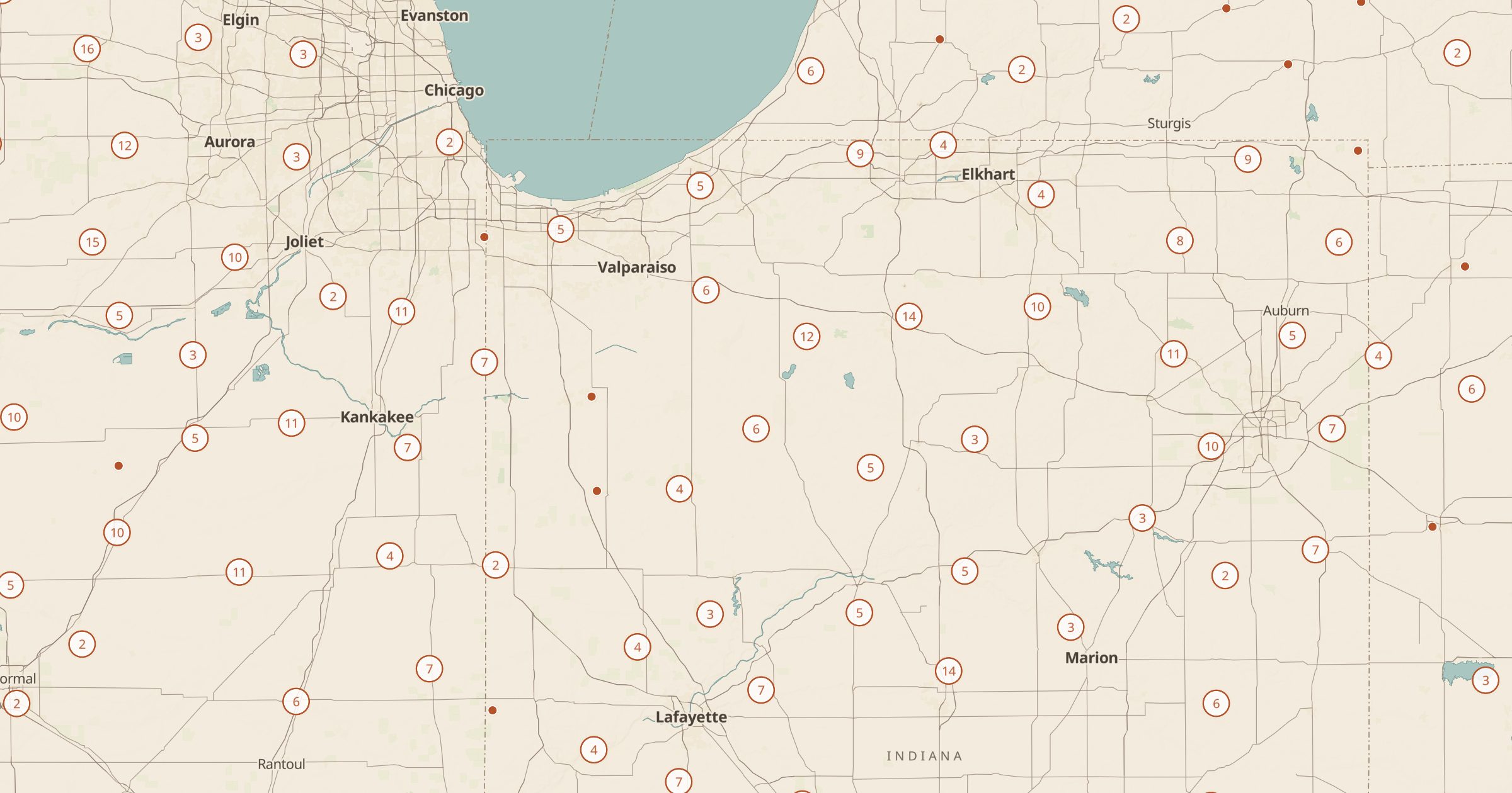
Map airports and backcountry airstrips from OpenStreetMap, with FAA codes and elevation where mapped. Explore general aviation across the US.
 Explore this map →
- 16,370airports and airstrips
- OpenStreetMapsource
- ODbL 1.0license
- 98layers to stack it with
About this layer
The US has a huge network of airfields beyond the big commercial airports. This layer maps airports and backcountry airstrips recorded in OpenStreetMap, with data © OpenStreetMap contributors under the ODbL, including FAA codes and field elevation where they are mapped. A filter separates the types.
Pilots can use it as a quick overview for trip ideas, and everyone else can explore remote strips in the mountain West or find the small airfield near a town. It is not a navigation source: always use current charts and official airport data for flight planning. Pair it with Wilderness Areas, Land Ownership and Hot Springs to see where backcountry strips sit on the landscape.