

Zoos & Aquariums Map of the US
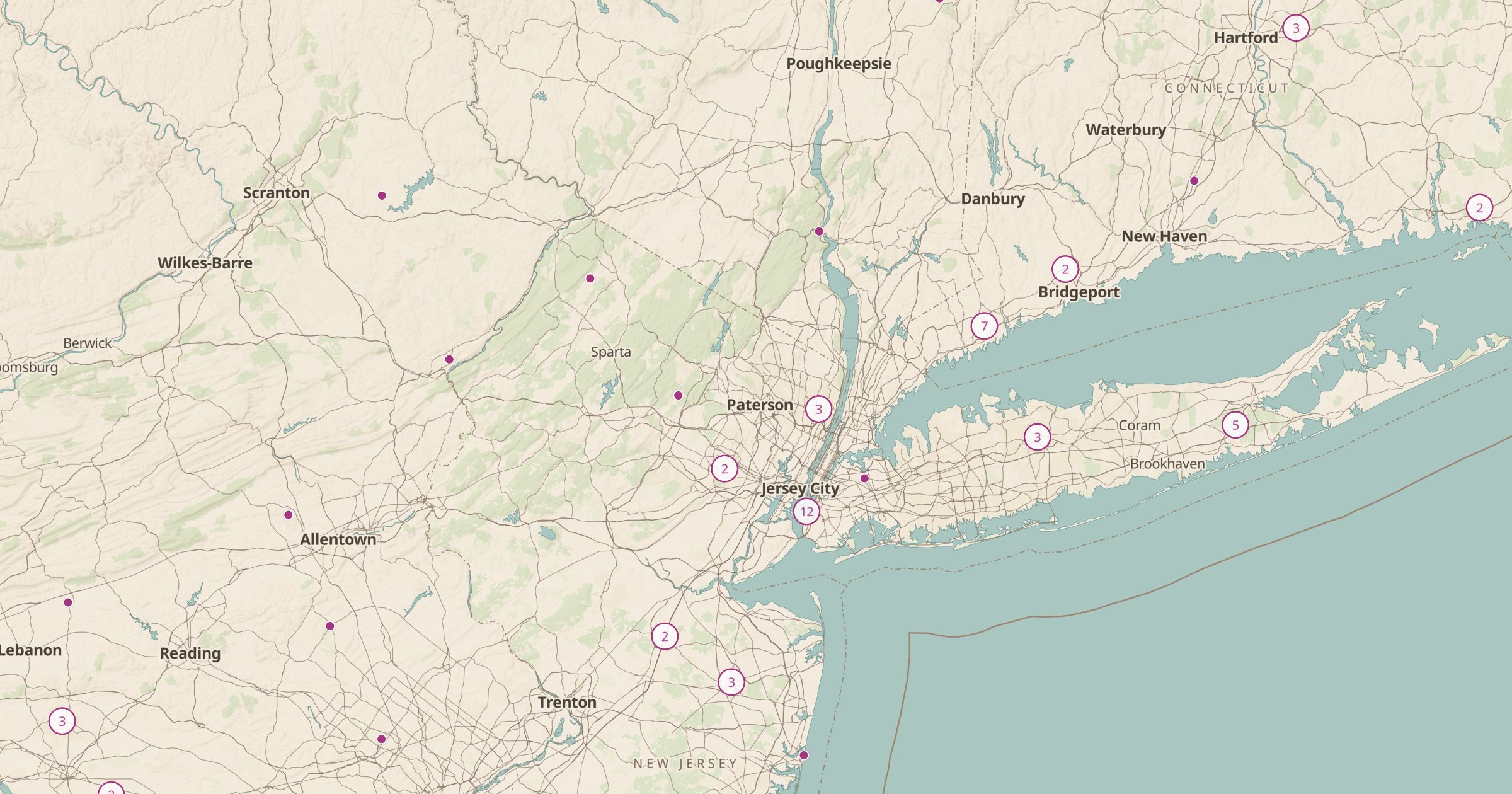
Map zoos and aquariums recorded in OpenStreetMap across the US. Find an animal day out near home or along a family road trip.
 Explore this map →
- 910zoos and aquariums
- OpenStreetMapsource
- ODbL 1.0license
- 98layers to stack it with
About this layer
Zoos and aquariums are an easy win on a family trip. This layer maps zoos and aquariums recorded in OpenStreetMap, with data © OpenStreetMap contributors under the ODbL, from large city institutions to small wildlife parks and nature centers where mappers have tagged them.
Use it to find a stop that will hold kids' attention on a long drive, plan a city visit or compare options in a region. The data does not say which places are accredited, so check the organization's own site for hours, tickets and animal care standards. Pair it with Museums, Beaches and Picnic Areas to fill out a day, or with Amtrak Stations for a trip without a car.