

Snowmobile Trails Map of the US
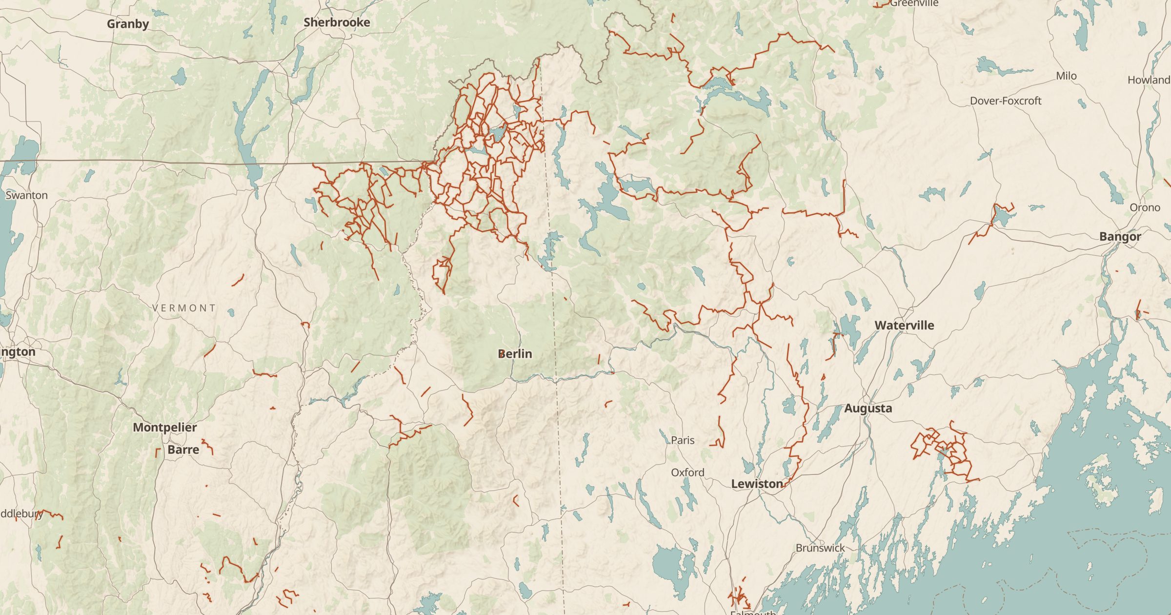
Map snowmobile routes and designated snowmobile trails recorded in OpenStreetMap. Plan winter rides in snow country across the US.
 Explore this map →
- 1,686trail segments
- OpenStreetMapsource
- ODbL 1.0license
- 98layers to stack it with
About this layer
In snow country, a whole trail network appears when winter arrives. This layer maps snowmobile routes and designated snowmobile trails recorded in OpenStreetMap, with data © OpenStreetMap contributors under the ODbL. The list lets you look up a trail by name, and the lines show how networks connect towns, lodges and backcountry areas.
Coverage depends on local mapping and is strongest in the northern states. Trails open and close with conditions and many cross private land by agreement, so check the local club or agency for current status and trail passes. Pair it with SNOTEL Snow Stations for snow depth, Ski Areas for more winter fun and Land Ownership to see where you are.