

Public Showers Map for Travelers
Map public showers recorded in OpenStreetMap across the US. Find a hot shower on a road trip, after dispersed camping or between trailheads.
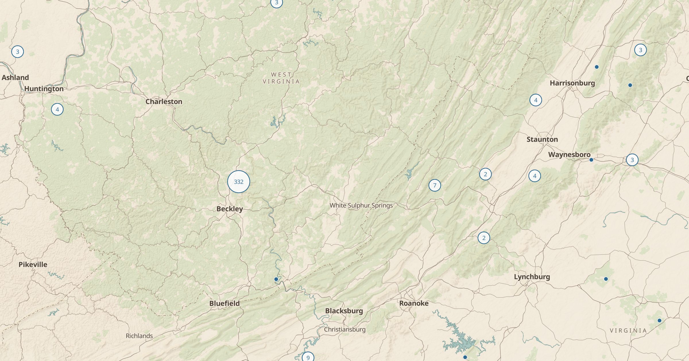 Explore this map →
- 4,388showers
- OpenStreetMapsource
- ODbL 1.0license
- 98layers to stack it with
About this layer
After a few nights of dispersed camping or a long day on the trail, a shower moves to the top of the list. This layer maps public showers recorded in OpenStreetMap, with data © OpenStreetMap contributors under the ODbL. Entries include showers at beaches, campgrounds, marinas, truck stops and recreation centers where mappers have added them.
Coverage depends on local volunteers, so some towns are well mapped and others have gaps. Open a point to see what is known about it, then check hours and fees before you go, since many showers are seasonal or coin operated. Pair it with Laundromats, Dispersed Camping and Free Wi-Fi to plan a reset day on a long trip.