

Water & camping
AED Map: Public Defibrillator Locations
Map public defibrillators (AEDs) across the US recorded in OpenStreetMap. Partial coverage; in an emergency, call 911 first.
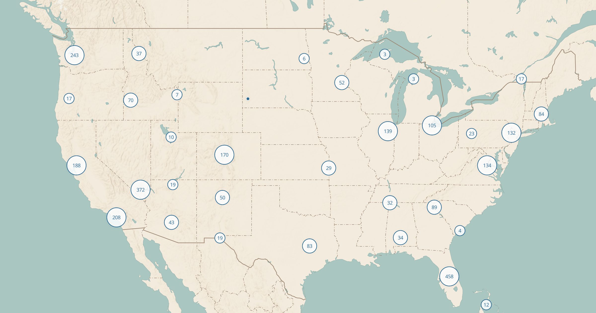 Explore this map →
- 2,961AED locations
- OpenStreetMapsource
- ODbL 1.0license
- 98layers to stack it with
About this layer
An automated external defibrillator, or AED, can save a life during sudden cardiac arrest, but only if someone can find it fast. This layer maps 2,961 public AEDs in the US recorded in OpenStreetMap, with data © OpenStreetMap contributors under the ODbL. Coverage is partial, so many AEDs are not on the map.
In an emergency, call 911 first; dispatchers can guide you to the nearest device. The layer is most useful ahead of time: event organizers, coaches, trail groups and building managers can check what exists nearby, and anyone can add missing AEDs to OpenStreetMap so the map improves for everyone.