

RV Parks Map: Private RV & Trailer Parks
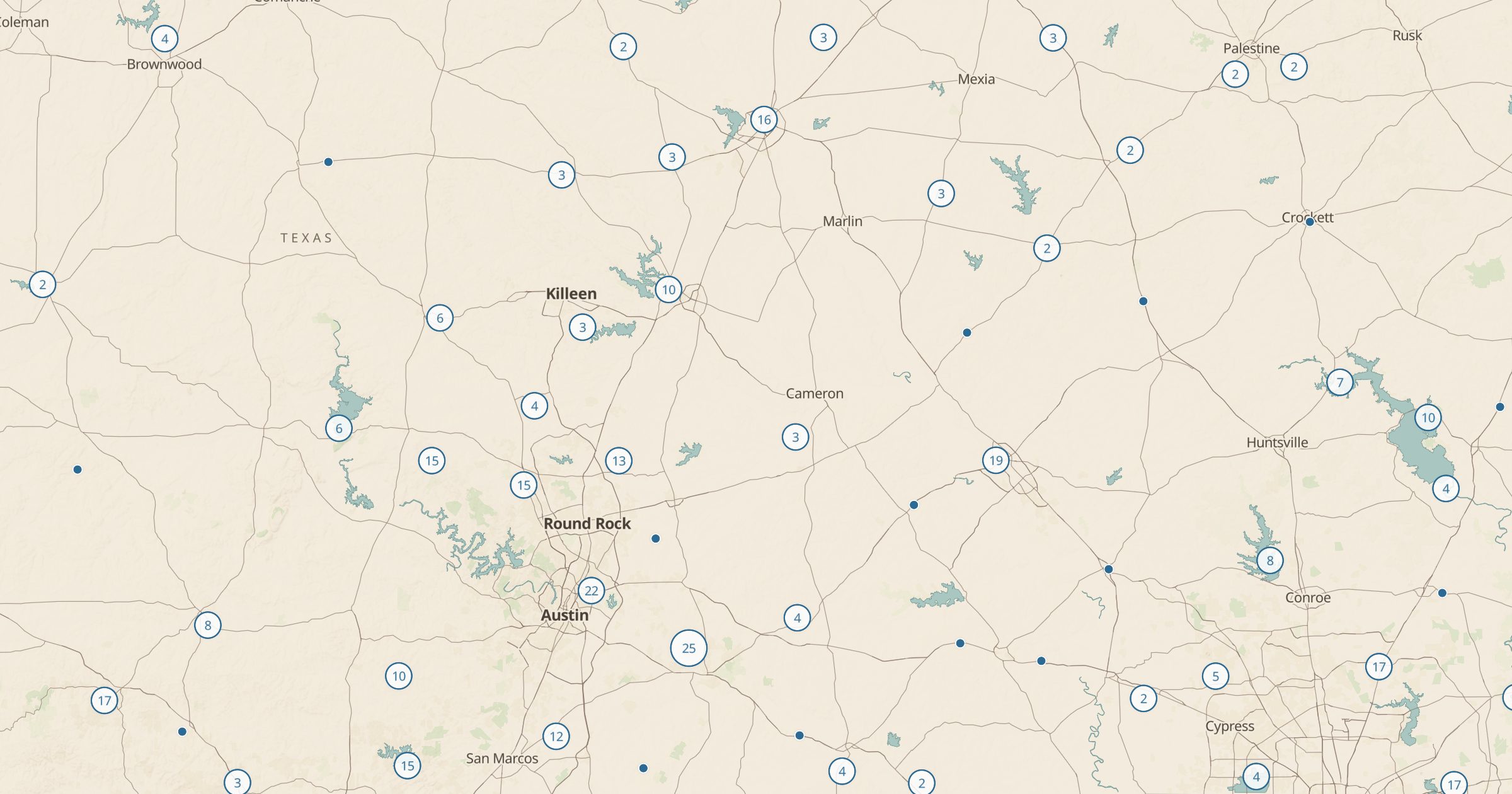
Map privately run RV parks and trailer parks from OpenStreetMap, off public land. Find a hookup site for the night along your route.
 Explore this map →
- 8,154RV parks
- OpenStreetMapsource
- ODbL 1.0license
- 98layers to stack it with
About this layer
Public campgrounds are not the only place to park an RV. This layer maps privately run RV parks and trailer parks recorded in OpenStreetMap, with data © OpenStreetMap contributors under the ODbL. It shows private parks and parks of unknown ownership that sit off public land, and a filter for parks of unknown ownership that are likely public lets you see the rest.
Use it when federal campgrounds are full, when you need hookups, laundry or a longer stay, or when you are driving through country with little public land. Pair it with Dump Stations, Propane and Rest Areas to plan the practical side of a long trip. Call the park for rates and availability, since OpenStreetMap does not track prices or vacancies.